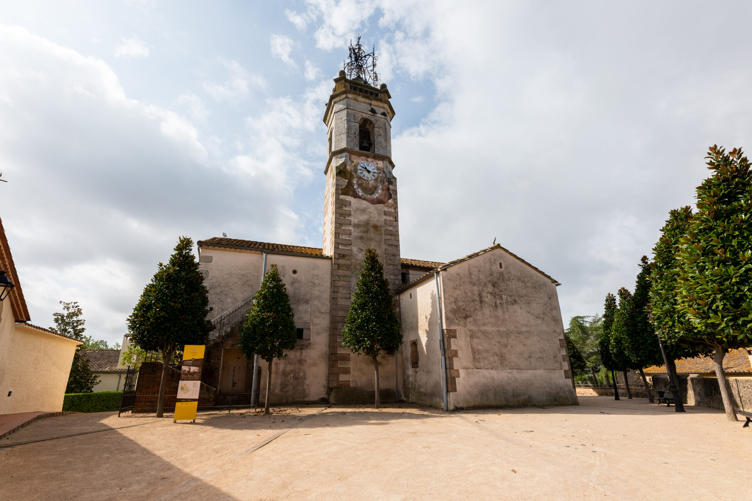
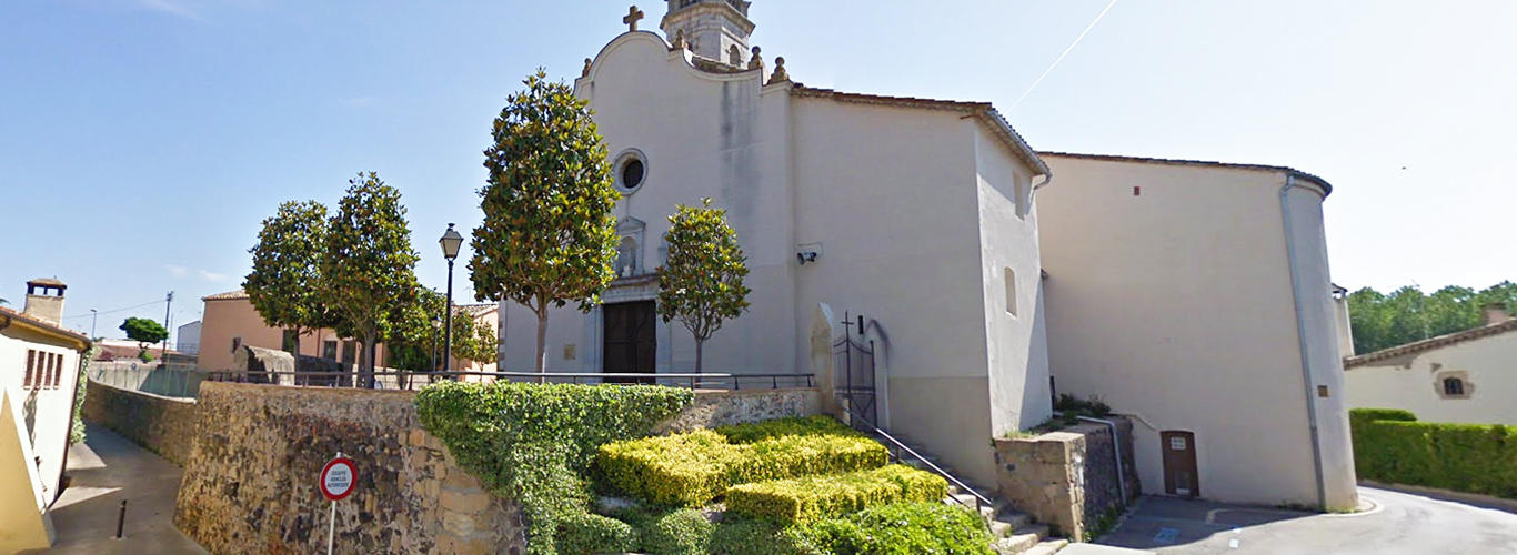
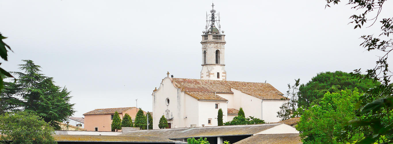
The town of Sils is located at a strategic confluence of roads since, before continuing on their way to Girona and France, the two roads that come from Barcelona cross the coast and the interior.
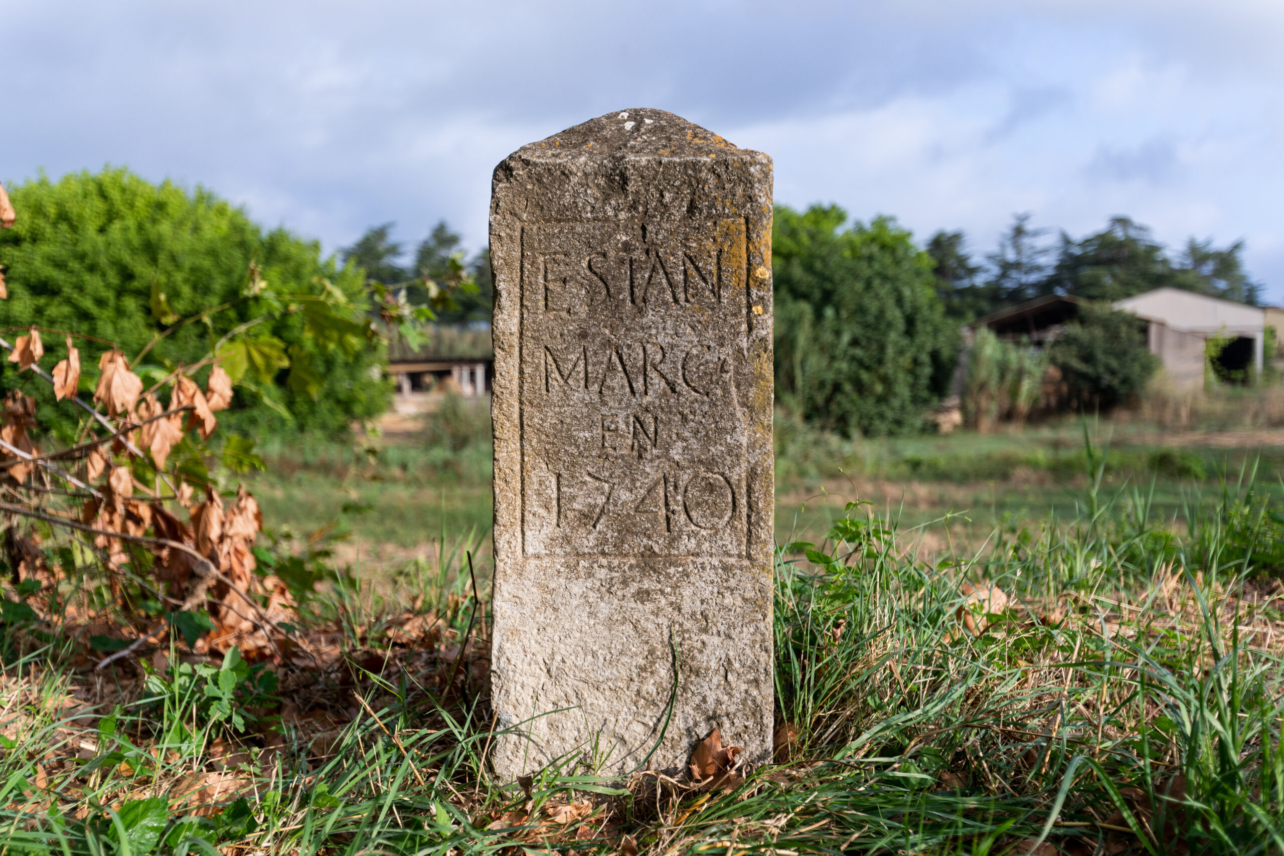
The municipality of Sils is at the lowest point of the Selva depression, which explains the existence of the Sils lagoon, a place of great natural value and the main setting for the legend of Pedro Porter.
The municipal area of Sils, limits to the north with Vilobí d’Onyar, to the west with Santa Coloma de Farners and Riudarenes, to the south with Maçanet de la Selva and to the east with Vidreres and Caldes de Malavella. The area is the result of the unification in 1873 of the towns of Sils and Vallcanera, which shared the houses on Calle Mallorquines, the only truly urban centre of the municipality before the 20th century. La Rana, el Massabè and La Barceloneta are neighbours with numerous farmhouses that reveal the agricultural past of the municipality, whose destiny was marked by the arrival of the railway around 1860.
In the following document you can download the triptych of Sils heritage elements linked to the Viscounty of Cabrera:
Virtual tour of the heritage elements of the Sils Viscounty
 Sils
Sils 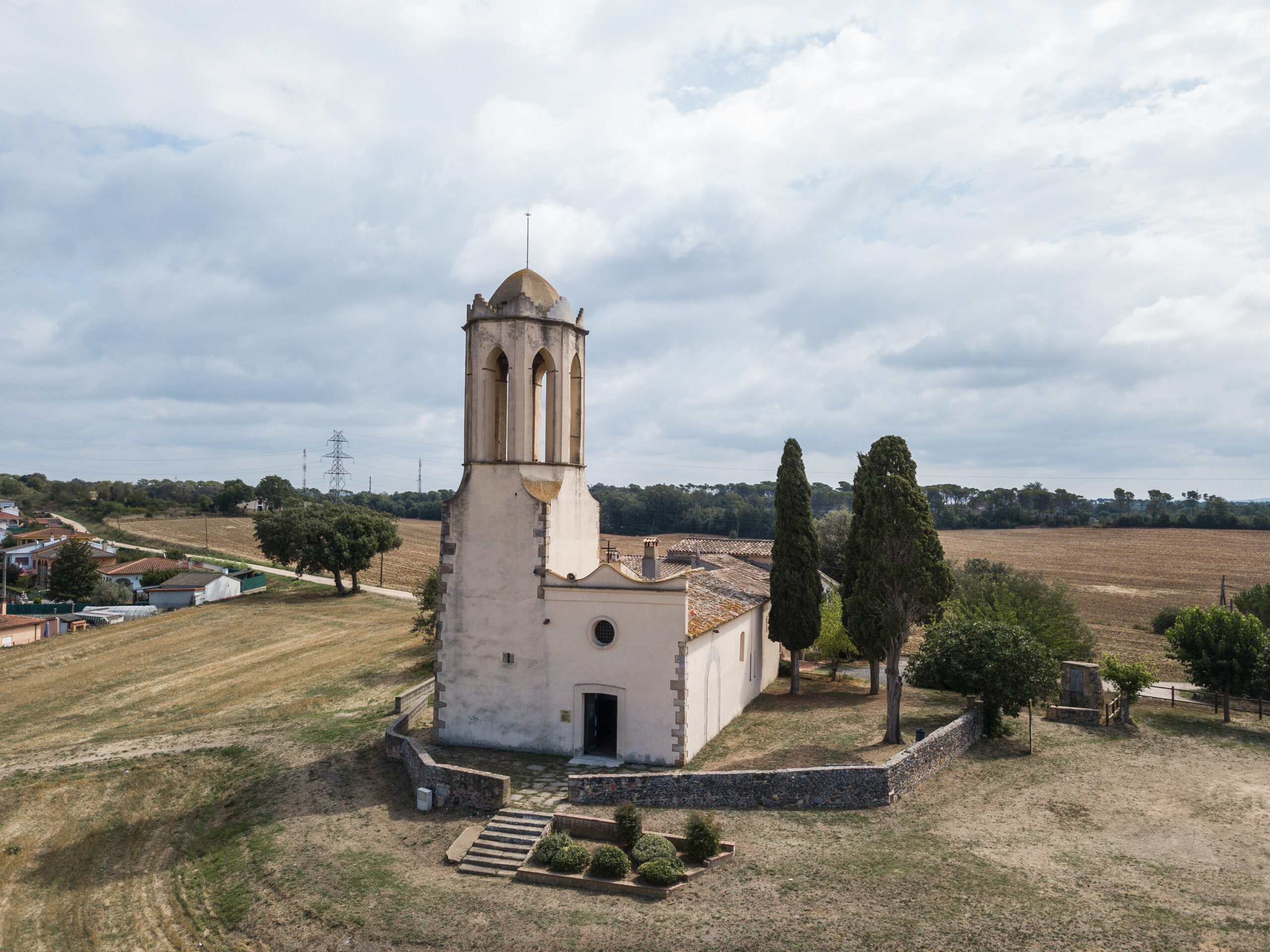
 Sils
Sils