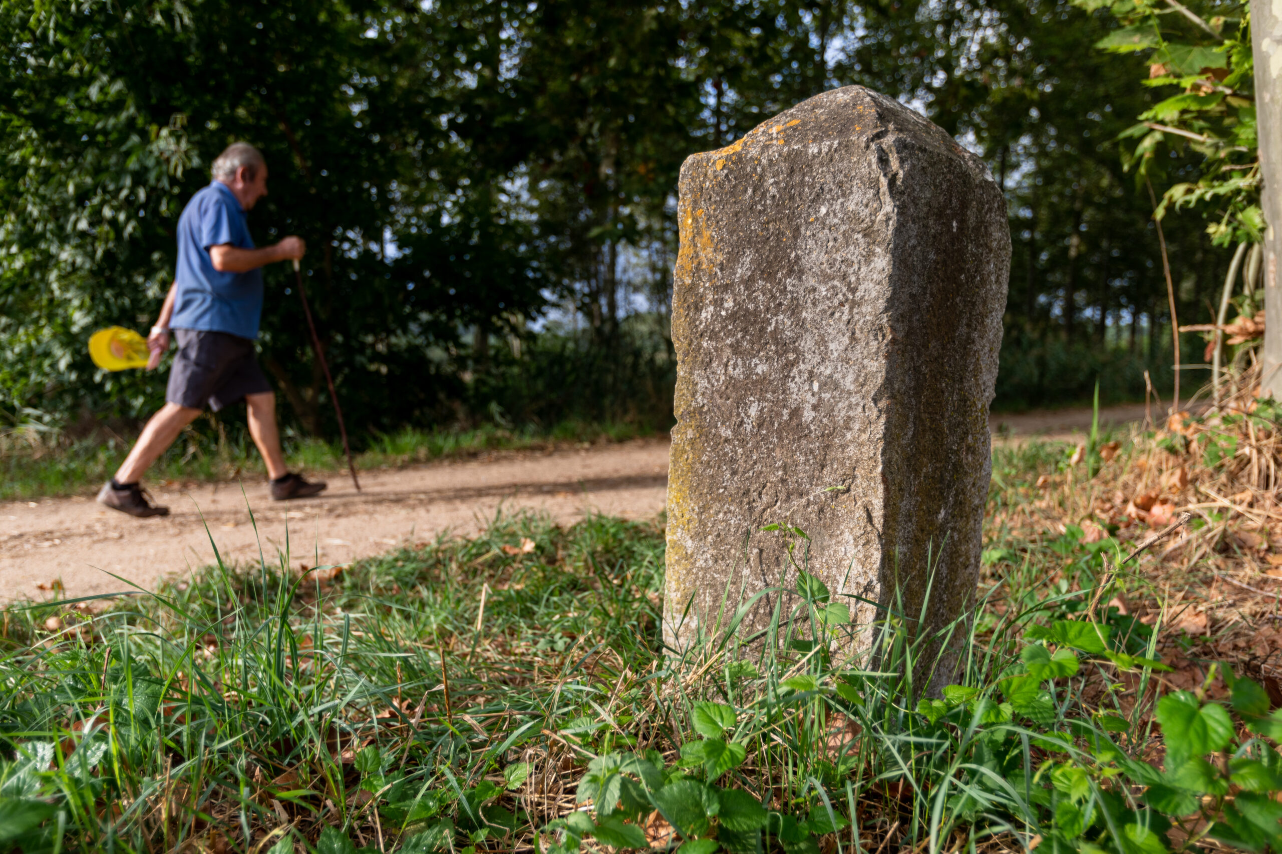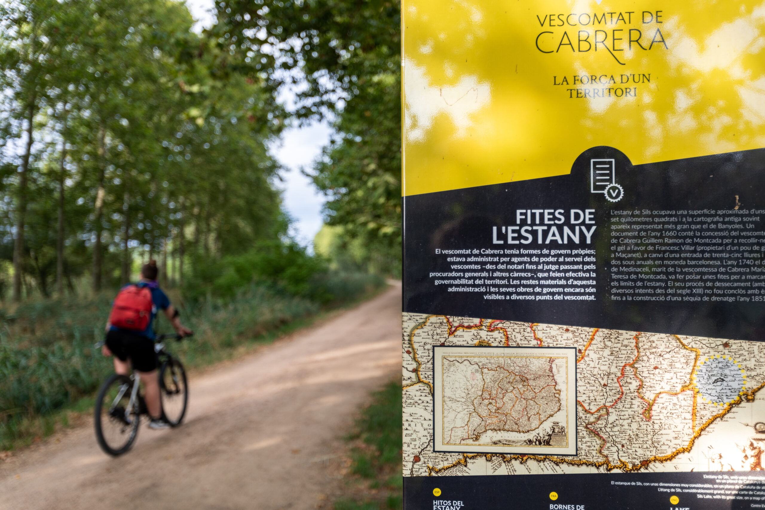
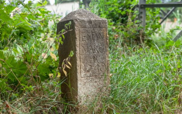
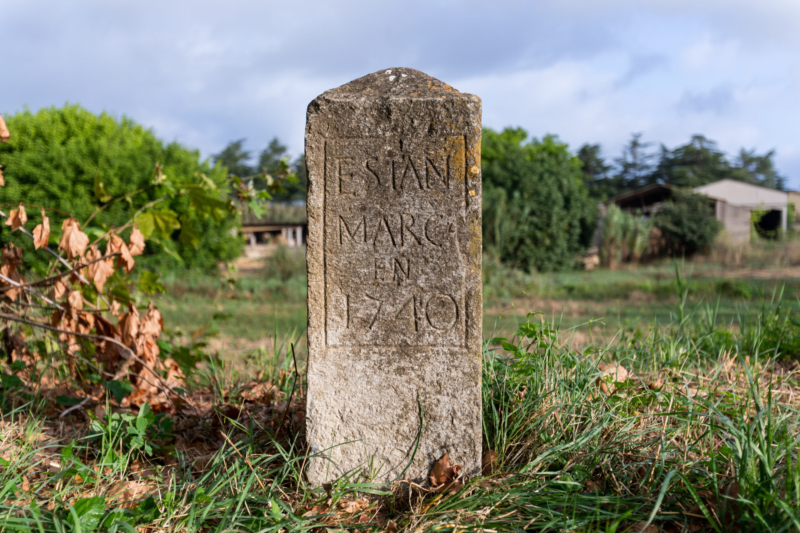
Sils Lake covered an area of approximately 7 km² and is often depicted in old maps as being larger than Banyoles Lake. A document dating from 1660 records that Guillem Ramon de Montcada, Viscount of Cabrera, granted Francesc Villar, the owner of an ice well in Maçanet, the right to collect ice in exchange for a deposit of 35 pounds and an annual payment of two sous in Barcelona currency. In 1740, the Duke of Medinaceli, husband of Maria Teresa de Montcada, Viscountess of Cabrera, ordered boundary stones to be placed to mark the limits of the lake. After several drainage attempts dating back to the 13th century, the process was finally completed with the construction of a drainage ditch in 1851.
 Sils
Sils