
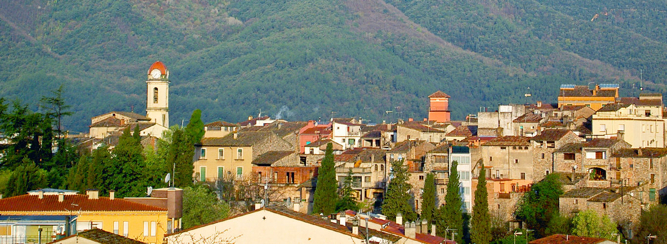
Anglès is a municipality located northeast of the Girona region of La Selva. The old town of the town is located at the top of a hill in the middle of the plain where the Osor stream and the river Ter pass.
The rest of the population has been located along this area, in small hills. The municipality of Anglès also includes the residents of Plan de Arriba and Plan de Abajo, located in the middle of the plain, and the Masies de Sant Amanç neighbourhood, on top of a mountainous area near the Guilleries.
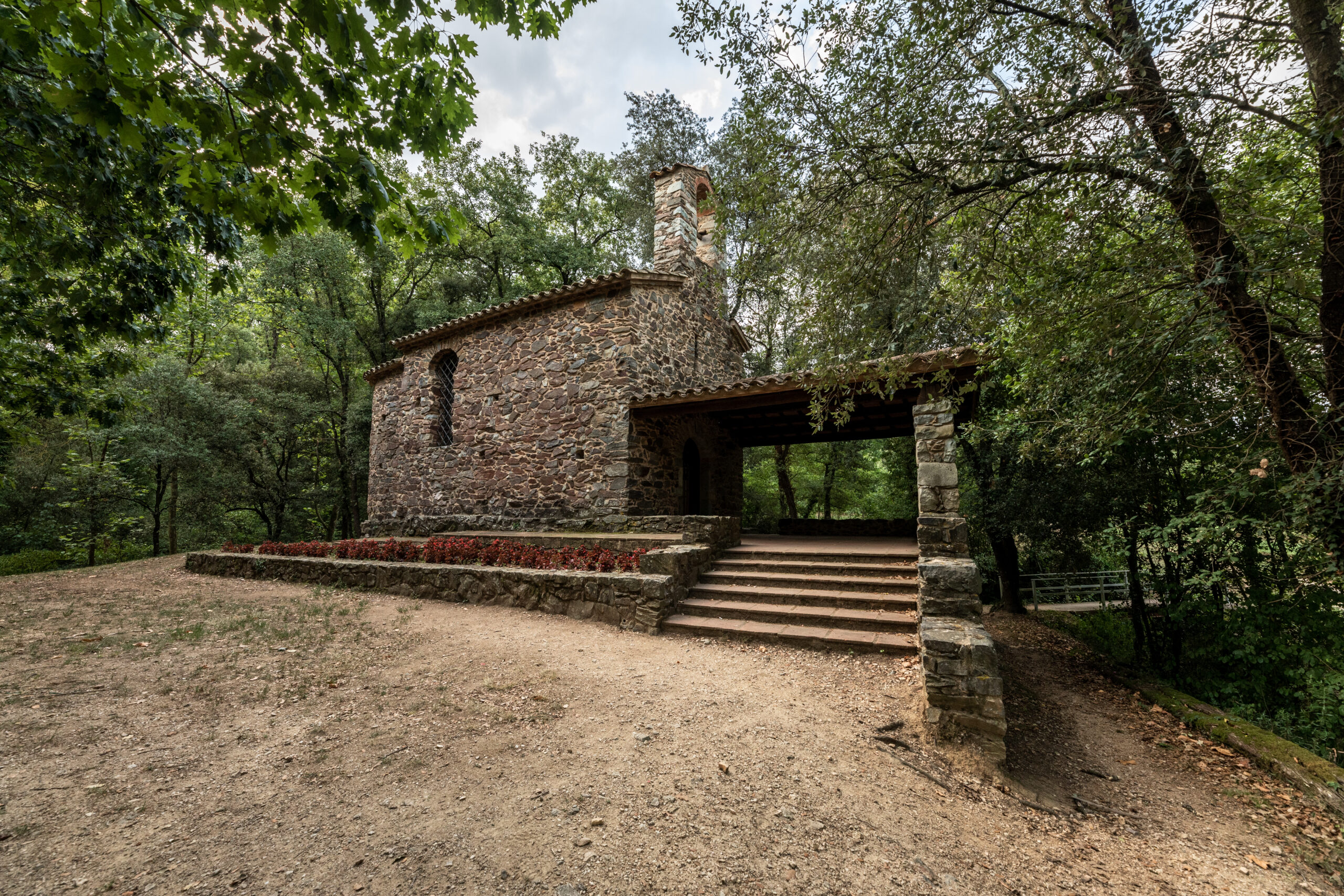
The diversity of the municipality’s topography, with an altitude that ranges between 100 meters in the lower part of the Valley and 854 meters in the Santa Bárbara Mountain, translates into great rich landscapes and a considerable variety of native flora and fauna. In this area, the municipality contains a large number of roads and forest tracks suitable for cycling or walking that cross different wild and rural landscapes from which you can see the views of the town, the valley and, from above Santa Bárbara, a good part of the Costa Brava and the Gerona Pyrenees.
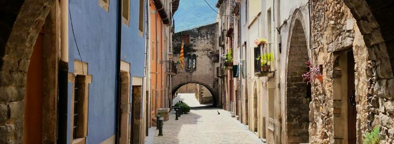
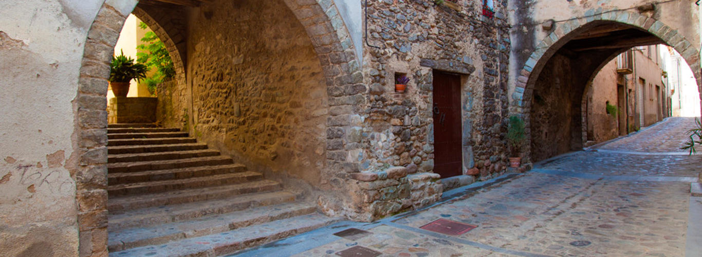
In the following document you can download the triptych of Anglès heritage elements linked to the Viscounty of Cabrera:
Virtual tour of the heritage elements of the Anglès Viscounty

 Anglès
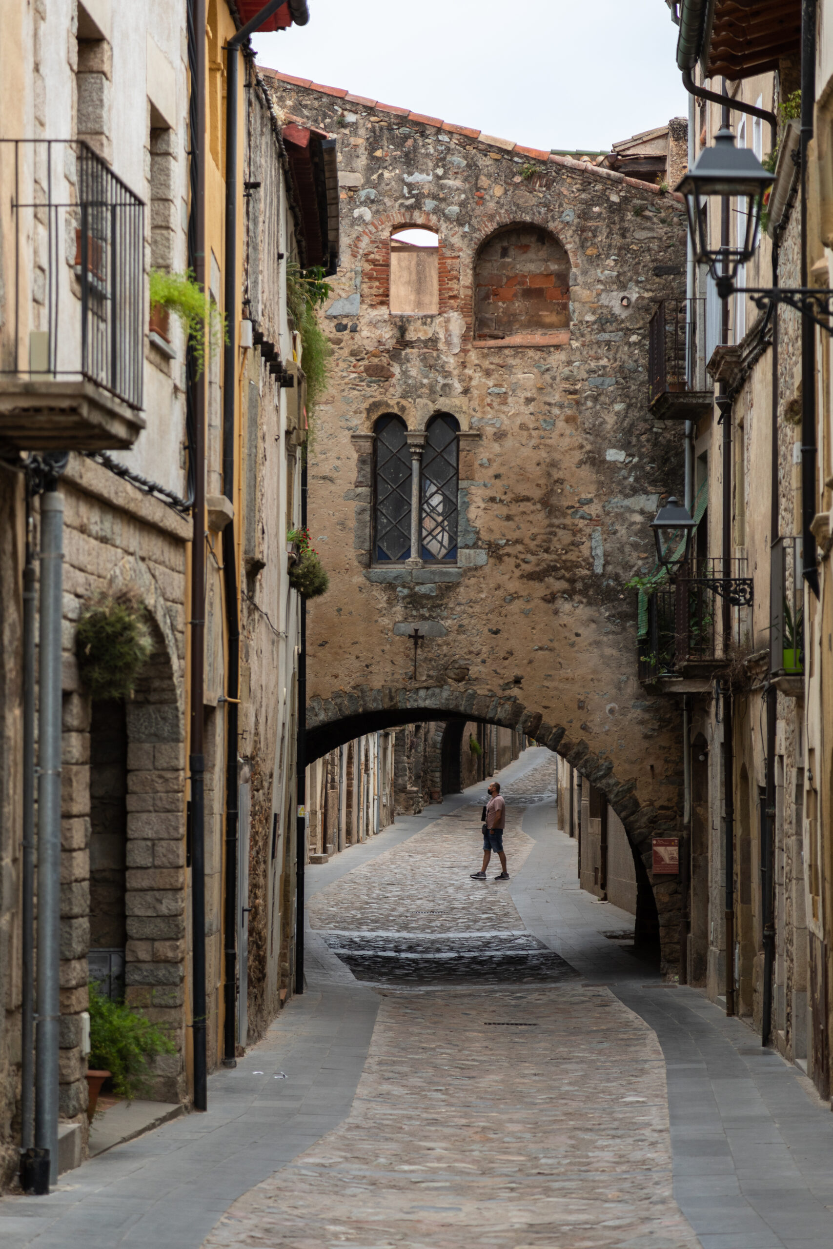
 Anglès