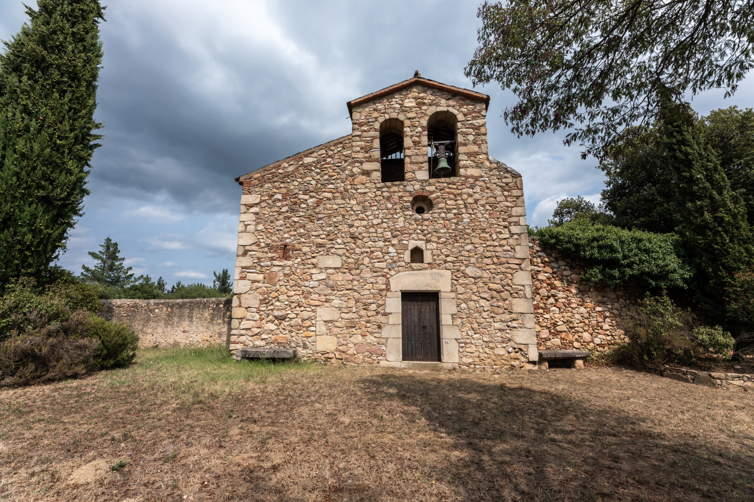
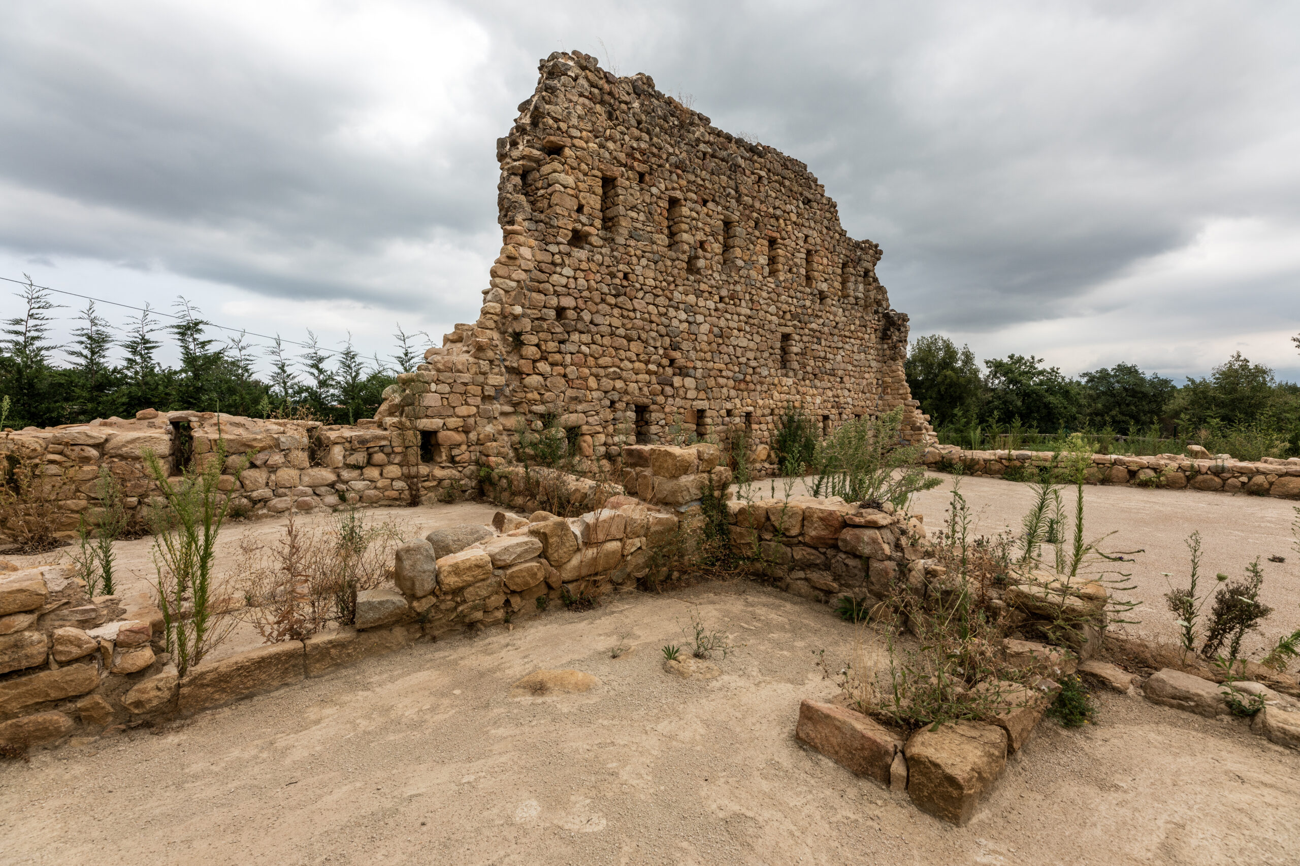
Riells i Viabrea is a municipality in La Selva region, which is part of the Baix Montseny sub-region. Formerly known as iris de Riells or Riells de Montseny, in 1893 it adopted the current name.
The municipality of Riells i Viabrea covers 26.53 km2 and is located to the south of the La Selva region. 60% of its area is part of the Montseny Natural Park and its area of influence. It borders with Arbúcies, Sant Feliu de Buixalleu, Breda, Sant Celoni, Gualba and Fogars de Monclús.
It comprises two different landscapes: in the north, in the most mountainous area, included in the Natural Park, is Riells del Montseny, with scattered farmhouses that have suffered a strong depopulation in recent years. To the south, forming part of the La Selva depression, is Viabrea, which also does not have a specific urban nucleus but is made up of several neighbourhoods and urban areas.
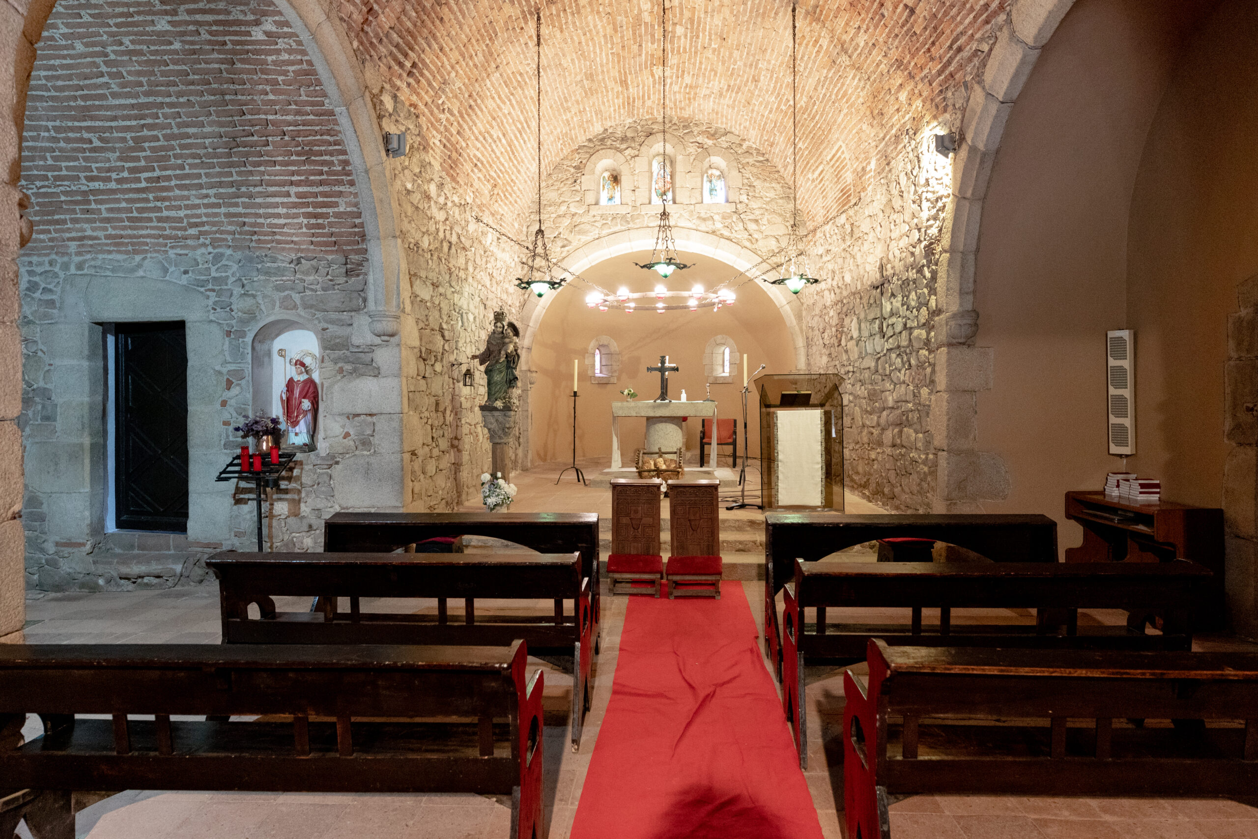
In the following document you can download the triptych of Blanes heritage elements linked to the Viscounty of Cabrera:
Virtual tour of the heritage elements of the Riells i Vaibrea Viscounty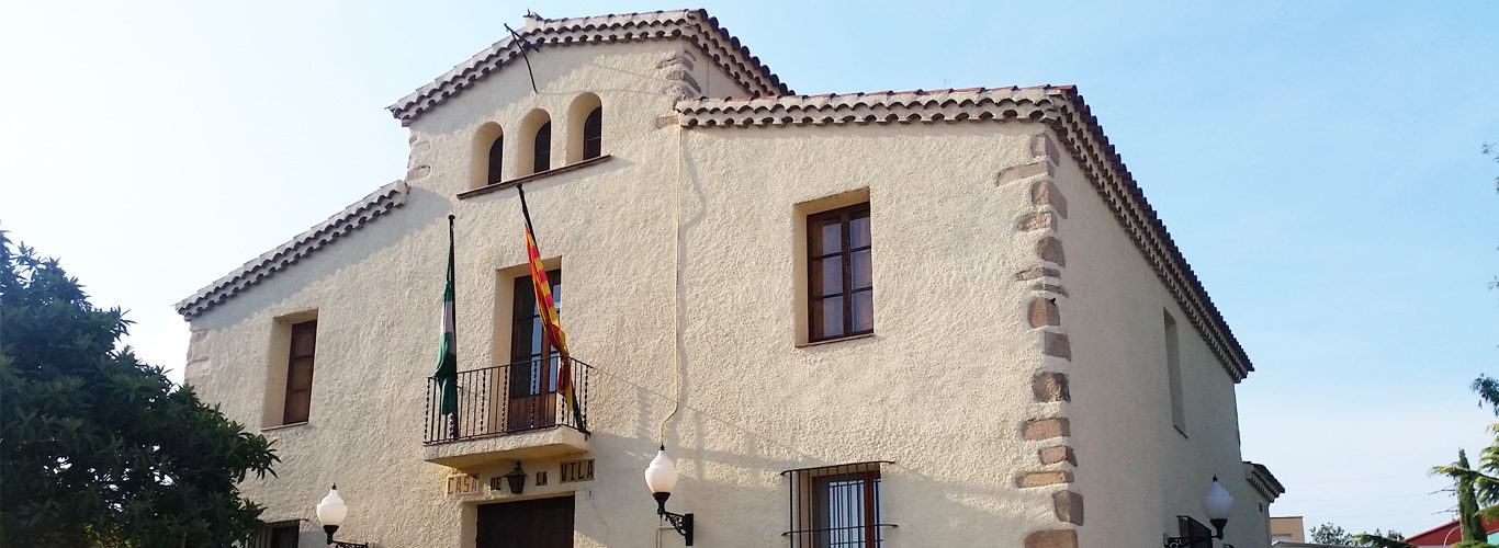
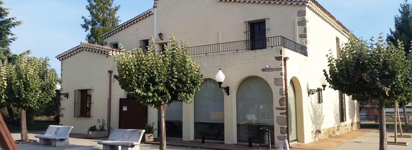
 Riells i Viabrea
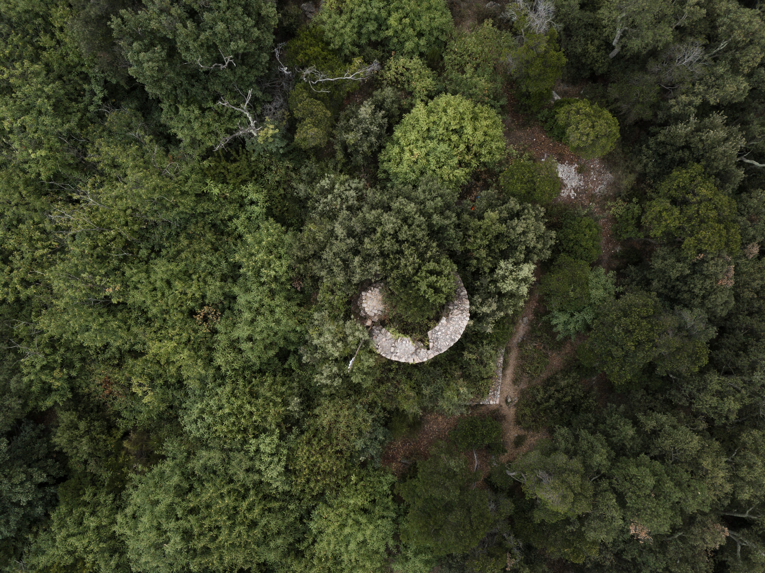
 Riells i Viabrea