
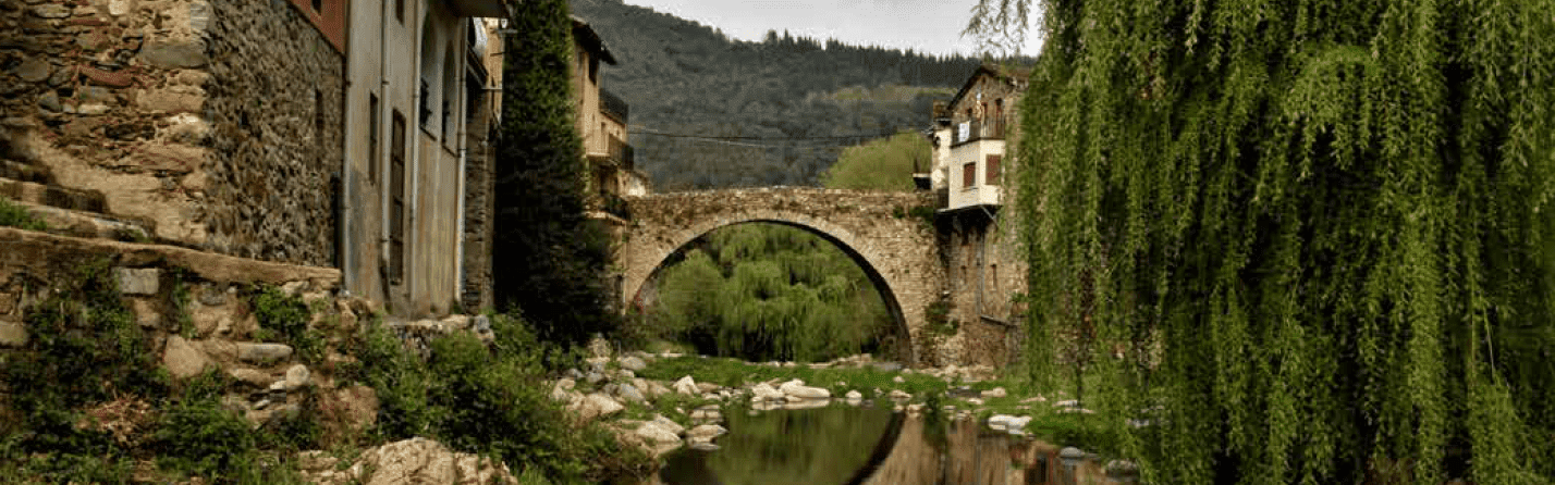
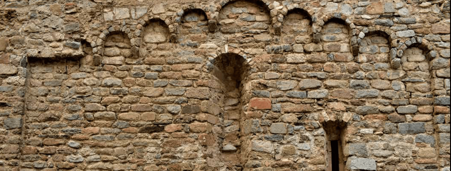
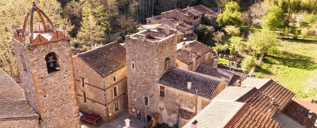
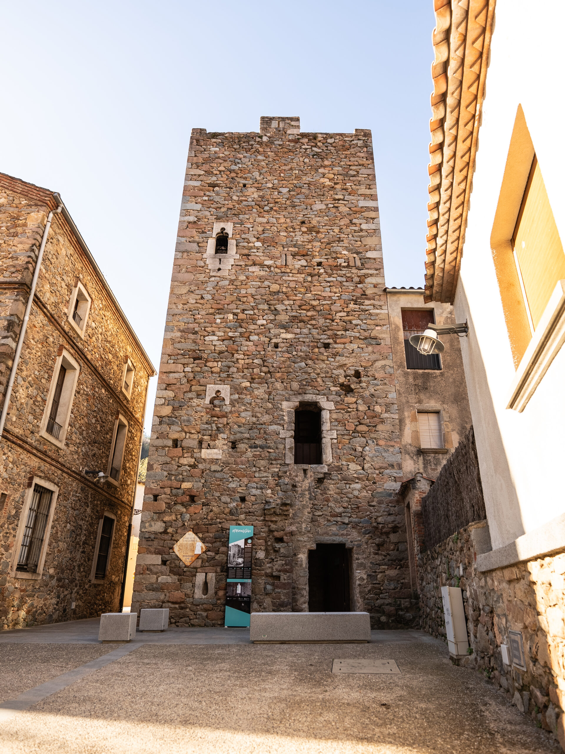
In Osor you can take a trip back to the Middle Ages as you stroll around its cobbled streets to discover its rich architectural heritage.
Osor is a municipality on the comarca (county) of la Selva, situated in the heart of the Guilleries massif, an area of outstanding natural and historic value. Lying 340 metres above sea level, the origin of its name is uncertain, but it seems to be pre-Roman and refer to “Ausorum”, which originally meant the land of the Ausetani people and, later, of the county and diocese of Ausona.
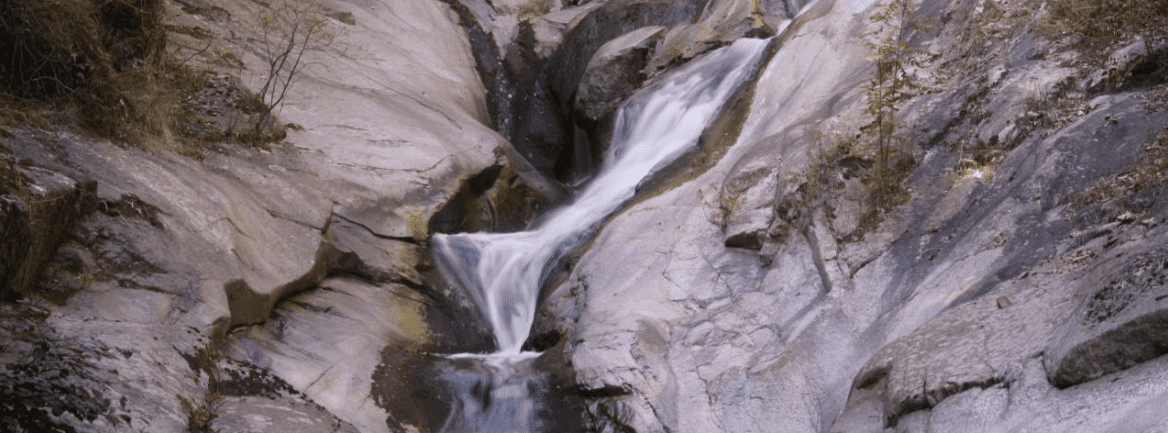
The municipality comprises the town itself and the localities of Mines d’Osor, Santa Creu d’Horta, Sant Gregori, El Coll and Sant Miquel de Maifré. Its terrain is rough, as the Osor valley is encircled by the hills of Porta Barrada, Sant Benet, El Coll and Sant Gregori, and the Solterra massif. it is therefore surrounded by the highest peaks in the Guilleries: Sant Gregori (1088 m), Sant Benet (1144 m) and Sant Miquel de Solterra or de les Formigues (1204 m).
In the following document you can download the triptych of Osor heritage elements linked to the Viscounty of Cabrera:
 Osor
Osor